|
|
Post by Filibusteria on May 9, 2007 21:26:46 GMT
But rex, think of this: Its better to have less land, so the giant amazonia doesnt bother us, and western argentina, too.
|
|
|
|
Post by Rah'Majashan on May 9, 2007 21:33:26 GMT
Just so you know, the scale of this map will be more than twice that of the standard RTW map. So, that should give us more room to play with.
I could add more to the top of the map. The one thing I was trying to avoid was Florida. But the spanish did land there so it could fit in.
Another idea I had was to just throw accuracy to the wind and make the map seem like it is from some of the old sea charts I've seen of the region. Perhaps even changing the province colors to more muted tones.
Right now though, I just want to see if I can get what I have made to load. Once I know this version of the map can work, I'll be quite confident I can then give you guys what ever you would like. Also we'll in the very least have SOMETHING' to play on.
Fair enough?
|
|
|
|
Post by Filibusteria on May 9, 2007 21:35:50 GMT
I vote not to add more land. I dont understand what you mean, Rah'Majashan, by saying that thing about the old maps.
|
|
|
|
Post by Rah'Majashan on May 9, 2007 21:44:37 GMT
The old maps drawn during the age of discovery never looked quite like what we see today, things were exagerated or made smaller or, I even saw one where South America looks nearly round. They just did not have the equipment or world view to raw exact maps in some cases.
Anyway, just a thought. For now, I'll continue with what I have.
|
|
|
|
Post by ByzantineKnight on May 10, 2007 1:06:29 GMT
Guys, Rex was talking about adding land cuz there is CTDs if there is too much water in the map (compared to the land)
|
|
|
|
Post by Rah'Majashan on May 10, 2007 1:34:54 GMT
I understand, sorry if I've miscommunicated that. I intend to do what ever it takes to get the map to work with the features that you guys want on it.
There is the option of simply adding land and ignoring the true outline of South America or adding something like Arthurian Total War added, such as compass or some such to trick the game into thinking there is more land then there is.
Whatever it takes, I will have a working base map to you guys by next week. If not, I'll have some splainin ta do.
|
|
|
|
Post by Filibusteria on May 10, 2007 1:51:43 GMT
lets do a symbol AND a compass!!! People will only see the borderland sea, not the deep sea, anywy!
|
|
|
|
Post by meliritiatl on May 10, 2007 5:38:20 GMT
not a symbol and a compass that will be too much. Maybe we can use a compass (eighter way we will need one cause the map is strangely orientated) and we can add a small banner of our mod in a corner of this compass
|
|
|
|
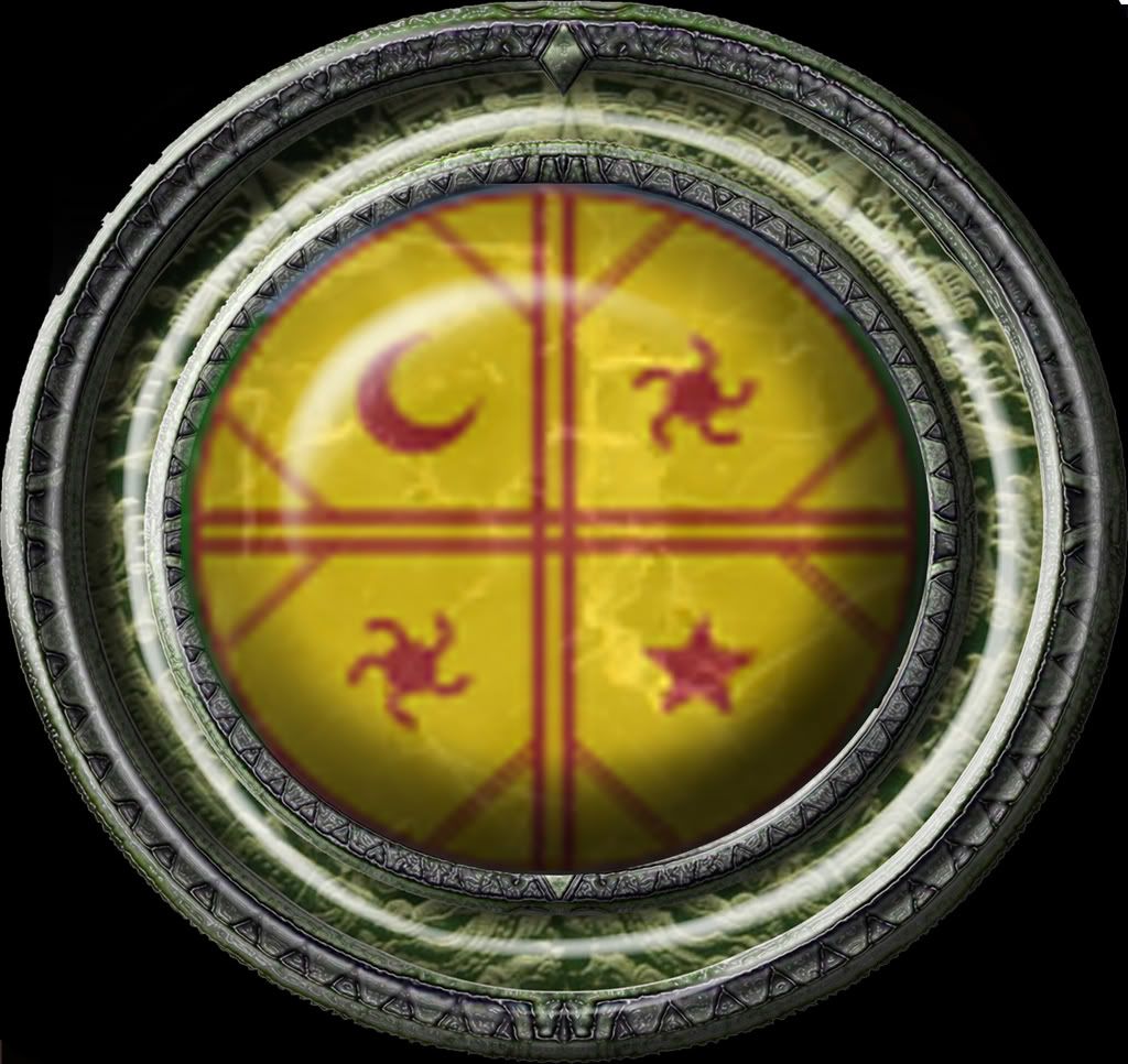
Post by rexdacorum on May 10, 2007 19:23:09 GMT
A compass could be a good idea, but why not the representation of Inti, the Inca Sun God ? A simple solar disc, then the rays... all made in nice south american fashion, it woul be very cool looking !  |
|
|
|
Post by Rah'Majashan on May 10, 2007 19:33:41 GMT
Thats sort of what I had in mind Rex (great minds think a like  ). Only perhaps with the ray representing 'North' being a little longer then the others. I'll start with a generic circle representing the placement of this symbol and we can take it from there. |
|
|
|
Post by rexdacorum on May 10, 2007 19:47:11 GMT
Perfect !
It seems that the map may turn out to be, together with the unit moddelling, the strongest part of our mod !
|
|
|
|
Post by caiusf on May 10, 2007 19:50:59 GMT
Sorry guys, I was very busy with school.
I didnt have a chance to check any forum.
Rah'Majashan contacted me, so we are starting!
|
|
|
|
Post by meliritiatl on May 11, 2007 5:41:04 GMT
A compass could be a good idea, but why not the representation of Inti, the Inca Sun God ? A simple solar disc, then the rays... all made in nice south american fashion, it woul be very cool looking ! I second the idea. |
|
|
|
Post by Rah'Majashan on May 11, 2007 6:40:58 GMT
Huzza!!!!
We have a map. It is exactly what I posted earlier, with the wee exception that I had to add a bucket load of land to the south to get the thing to load.
However, I realized on my third try that the black I was using for the heights was 0,0,0. Once I changed that to 2,2,2 it loaded fine. So, I'll chip away at it until it fails then we'l know how large or how much area we need to add as compass, icon, border design, etc.
I played several rounds (killing my faction heir in an unwise frontal assault, got sloppy) and it loaded well every time. Can't wait to have some of the units I've been seeing you guys making to play around with on it.
I will work out the kinks over the weekend, the confer with Caius on how we will cooperate in hammering out all the details; heights, climate, ground types, rivers (both navigable and non) city names, province names, city locations, province shapes, etc etc etc.
|
|
|
|
Post by Rah'Majashan on May 11, 2007 6:48:20 GMT
Hmm, FYI. Just noticed that when I go to click on a character card on the campaign screen I get bounced to the edge of the map. So, I resized the radar map to fit in the window on the lower left. We will have to add some designs above and below the map to fill the blank spaces now there.  You can also see the blob of land I need to try and diminish |
|


 ). Only perhaps with the ray representing 'North' being a little longer then the others.